Monday, April 03, 2006
BASEBALL FLYOVER
[backpost -- actually posted 30 May ~1:47a]
[updated Miller Park image found 4 Jul]
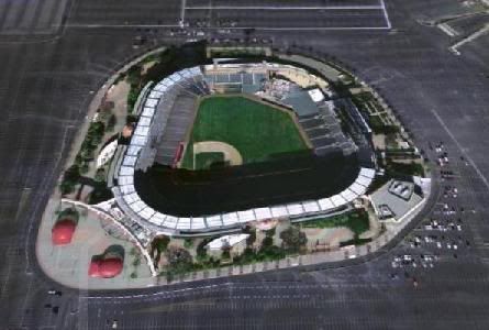
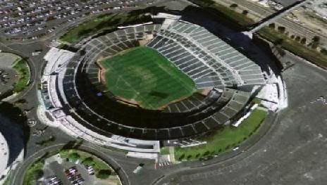
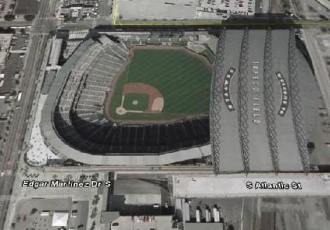
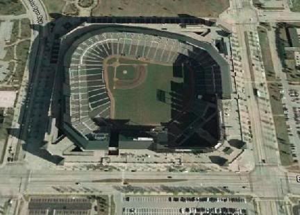
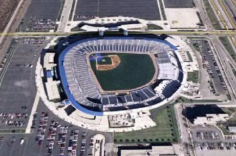
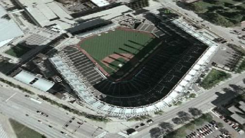
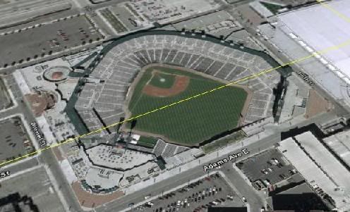
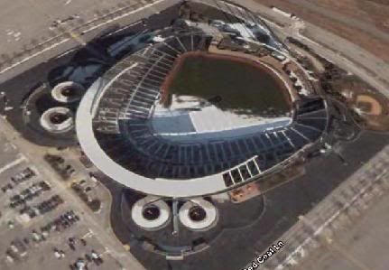
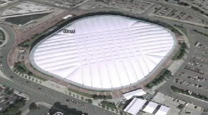
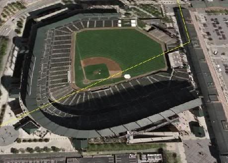
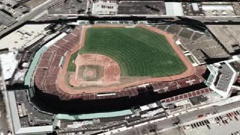
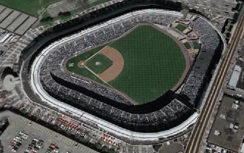
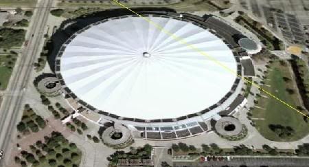
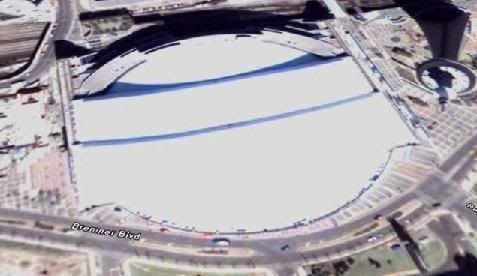
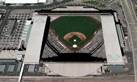
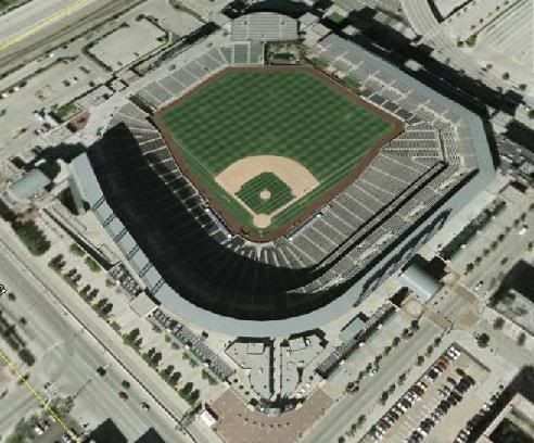
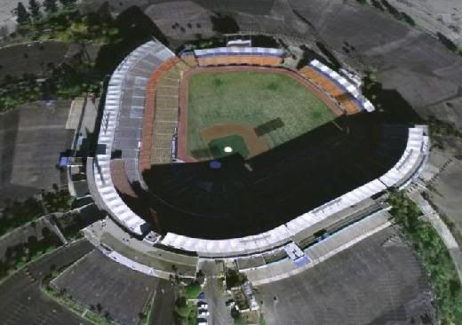
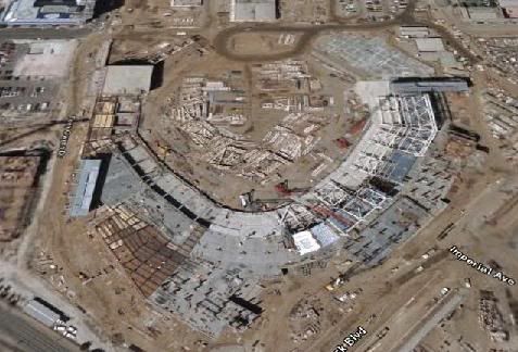
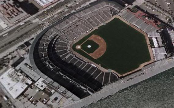
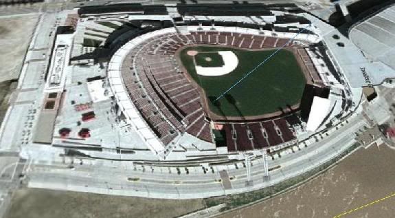
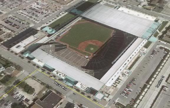
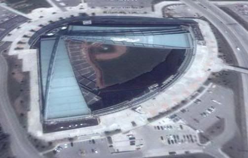
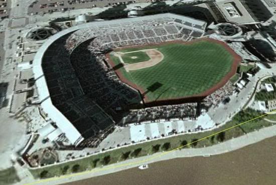
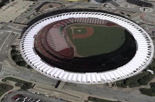
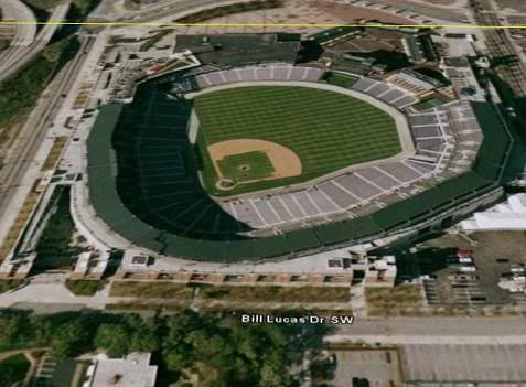
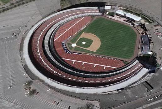
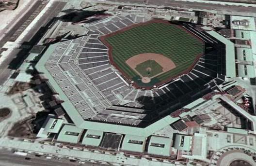
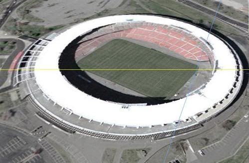
Okay, so I got bored. I went through and did Google Earth searches on all the ballparks of Major League Baseball. However, I should note that a couple of the photos are incorrect, not updated, or blurry. There's a line of demarcation in the Milwaukee area where the satellite photos are sharp, and Miller Park is north of that line. The aerial photo in San Diego was taken before Petco Park was fully operational. In Saint Louis, old Busch Stadium was dynamited and replaced by the newer Busch.
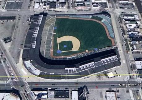
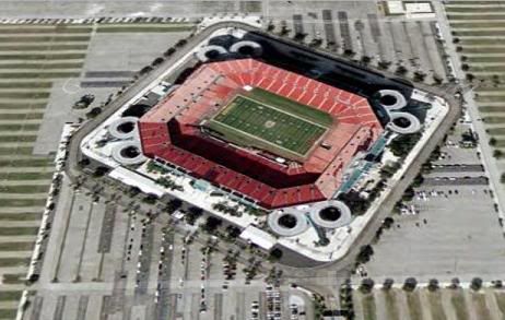
Other than that, I put all of these in a semi-oblique perspective and didn't deviate from north, so everything that's usually north is north. I didn't rotate or anything. Needless to say, the photos are via the very bitchin' Google Earth software, which basically is GIS to the layperson.
AMERICAN LEAGUE
AL West
AL Central
AL East
NATIONAL LEAGUE
NL West
NL Central
NL East
Again, thanks to Google Earth for killing many hours of mine, two years after going through the GIS program at Central Washington U back in Ellensburg.


